| |

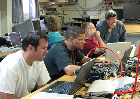
MBARI (Monterrey Bay Aquarium Institute) AUV (autonomous underwater vehicle) team prepare for the second mission of mapping Axial's caldera. The finished data is capable of resolutions identifying structures of about a meter, when flying at an altitude of 50 meters. Conventional mapping systems, mounted to a ship's hull, only reach resolutions of 25m at best for the depth of Axial's caldera. Pictured are (l-r) Doug Conlin, Hans Thomas, Dave Caress, Dave Clague and Jenny Paduan (in back).
Back
to August 10, 2007 Log.
|
|