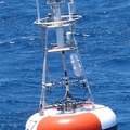
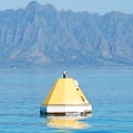
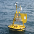
HALE-ALOHA
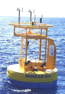
MOSEAN HALE-ALOHA Mooring (22.8°N, 158.1°W)
A MAPCO2TM system was deployed on the HALE-ALOHA (H-A) mooring from August 2004 through July 2007 near the Hawaii Ocean Time-series (HOT) site. The mooring was located ~100 km north of Oahu, Hawaii. Having a mooring co-located with the shipboard HOT time-series site provides the opportunity to examine high frequency variability in-between times when the ship visits the site (approximately one week per month) and the shipboard data provide a wide variety of information that can be used to interpret the observed variations at the site that would not be possible from the mooring alone.
Note: The H-A mooring was discontinued in July 2007. The time-series has continued on the WHOTS mooring.
Finalized Data availability: National Centers for Environmental Information NCEI.

