Kilo Nalu
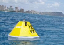
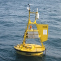
Kilo Nalu Offshore Observatory within the Hawaii Ocean Carbon Network (21.29°N, 157.87°W)
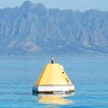
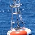
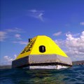
In collaboration with University of Hawaii Oceanographers Eric Heinen De Carlo, Fred Mackenzie, and Christopher Sabine, PMEL maintained a moored buoy array around Oahu, Hawaii. Two moorings on the South Shore, Ala Wai and Kilo Nalu are part of the PacIOOS water quality monitoring program. Other moorings, CRIMP2 and Kaneohe Bay, are located in Kaneohe Bay. Each mooring has mounted sensors which provide high resolution time-series measurements of the partial pressure of atmospheric boundary layer CO2 and surface water CO2 as well as surface water dissolved oxygen, temperature, and salinity. The University of Hawaii has mounted instruments on the moorings that measure sea surface chlorophyll a, turbidity, temperature, salinity, depth, pH, dissolved oxygen, and nitrate. These data are used to evaluate the temporal variability in air-sea CO2 fluxes and to assist in examining the mechanisms controlling CO2 fluxes. To see data collected on these moorings in near-real time, click on the site name on the map.
For more information about the mooring and meteorological sensors please visit the PacIOOS Water Quality Buoys site.
Finalized Data availability:National Centers for Environmental information NCEI.

