GOM
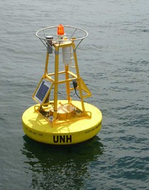
Coastal Western Gulf of Maine Mooring (43.02°N, 70.54°W).
Data collection using the Coastal Western Gulf of Maine Mooring was initiated in 2006 as a collaborative effort between PMEL's CO2 group and the University of New Hampshire's Coastal Carbon Group. This buoy is the cornerstone ocean carbon time series station operating within the Northeast Regional Assoc. of Coastal Ocean Observing Systems (NERACOOS). The mooring is in approximately 65 meters of water and located about 10 km from shore, NE of the Isles of Shoals.
On September 9, 2010, a surface seawater pH sensor was added to the Coastal Western Gulf of Maine Mooring mooring. By measuring pH in addition to pCO2, we are able to more accurately and precisely study the changes associated with ocean acidification. All seawater pH observations are shown in the second figure below. This project is supported by NOAA's Ocean Acidification Program.
Finalized Data: National Centers for Environmental Information NCEI.
Plots of surface water and atmospheric CO2 and surface water pH (click+drag to zoom):
Monthly climatology of surface seawater aragonite saturation state (Ω) and pH:
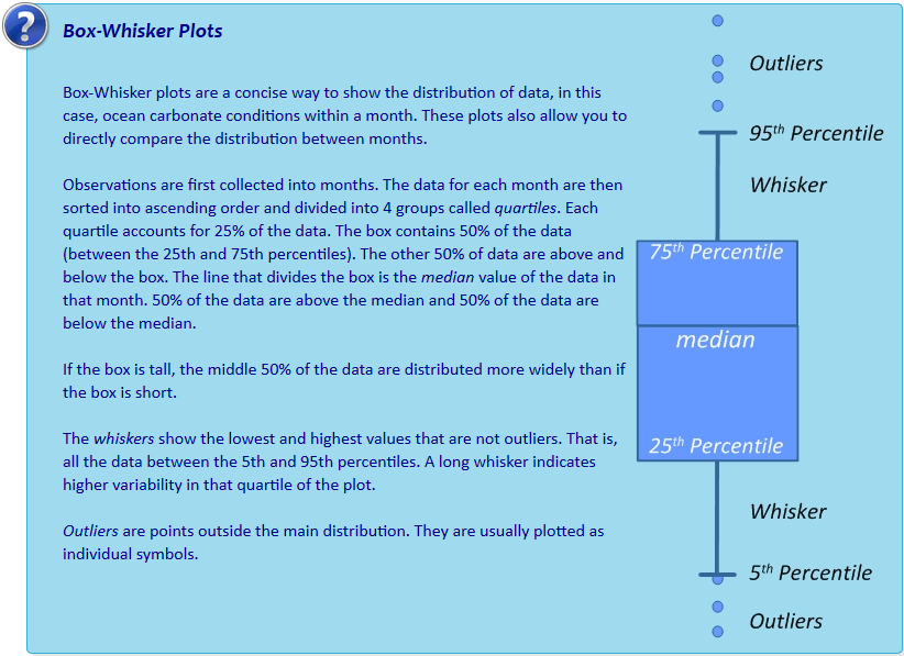
Interactive box plots below are observations binned by month as described in Sutton et al., 2016. Pie charts represent % of observations within each month that fall below the adjustable line. This adjustable line is meant to provide a tool for assessing potential biological thresholds. For example, setting the line to Ωaragonite of ~2.0 would assess monthly exposure of Pacific oyster larvae to sub-lethal chronic effects in regions where these larvae occur naturally or in hatcheries (see studies here and here).

