April 24, 2014
January 06, 2014
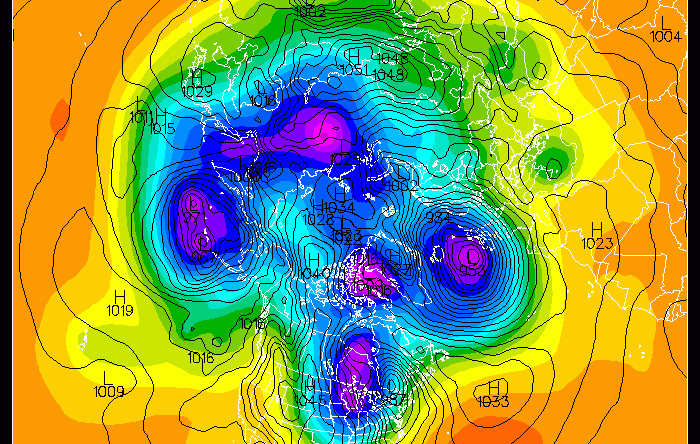
PMEL’s Dr. James Overland explains why the eastern United States is experiencing frigid temperatures in early January 2014 on the Arctic web site's new Polar Vortex page. He describes how in the last five years we have seen the jet stream transform from its typical, nice oval pattern around the North Pole to more of a wavy formation, and this waviness is resulting in colder weather being carried into the eastern US and eastern Asia.
Visit the Arctic web site to read more about the polar vortex and how the connection between the Arctic warming trend and more severe weather in mid-latitudes is an active area of research.
Scientist(s):
PMEL Project:


